Why Predictive Infrastructure Intelligence Is Becoming Essential for Climate-Resilient Cities
Why Predictive Infrastructure Intelligence Is Becoming Essential for Climate-Resilient Cities
- Last Updated: June 19, 2026
Dania Akram
- Last Updated: June 19, 2026
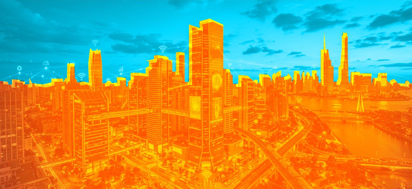
Cities are entering a new era where infrastructure is no longer managed through periodic inspections and reactive repairs. Instead, urban systems are shifting toward continuous intelligence, where real-time data, geospatial insights, and AI-driven analytics shape how infrastructure is monitored, maintained, and optimized.
As climate change intensifies and urban populations grow, cities face increasing pressure on roads, bridges, utilities, drainage systems, and public assets. Traditional infrastructure management approaches are no longer sufficient to handle the complexity, speed, and uncertainty of modern urban environments.
This is where predictive infrastructure intelligence is emerging as a critical foundation for climate-resilient cities.
The Limits of Traditional Infrastructure Management
For decades, infrastructure management has been largely reactive. Municipalities and asset operators typically rely on scheduled inspections, manual surveys, and citizen reporting to identify issues.
While this approach worked in the past, it creates significant challenges today:
- Infrastructure failures are often detected too late
- Maintenance is costly and unplanned
- Inspection cycles are slow and labor-intensive
- Environmental risks are not continuously monitored
- Data is fragmented across departments and systems
In a world where extreme weather events and urban stress are increasing, this reactive model creates vulnerabilities that cities can no longer afford.
The Shift Toward Predictive Infrastructure Intelligence
Predictive infrastructure intelligence represents a fundamental shift from reactive maintenance to proactive decision-making.
It combines multiple technologies to create a continuously updated understanding of urban infrastructure health:
- IoT sensors embedded in physical assets
- AI-based anomaly detection and forecasting
- Geospatial analytics and mapping systems
- Aerial and satellite data collection
- Connected infrastructure monitoring platforms
Together, these systems allow cities to identify risks before failures occur, optimize maintenance schedules, and improve long-term infrastructure performance.
Instead of asking “What is broken?” cities can now answer:
“What is likely to fail, where, and when?”
The Role of Digital Twins in Urban Infrastructure
A major enabler of this transformation is the rise of the digital twin for urban planning.
A digital twin is a dynamic virtual representation of physical infrastructure that continuously updates using real-time data from IoT sensors, GIS platforms, and aerial mapping systems.
In urban planning, digital twins allow cities to:
- Simulate infrastructure performance under different conditions
- Monitor asset health in real time
- Visualize entire urban systems in a spatial environment
- Predict the impact of climate events like flooding or heatwaves
- Optimize construction and expansion planning
When combined with predictive analytics, digital twins become powerful decision-support systems that help cities move from static planning to dynamic, data-driven urban management.
Why Geospatial Intelligence Is Critical
One of the most important components of predictive infrastructure systems is spatial awareness.
Urban infrastructure does not exist in isolation—it exists across geography, terrain, and environmental conditions. This is where GIS drone mapping plays a key role in modern infrastructure intelligence.
High-resolution aerial mapping enables cities to:
- Capture accurate spatial data of urban environments
- Monitor construction progress and land-use changes
- Identify flood-prone or high-risk zones
- Improve infrastructure asset documentation
- Support urban expansion planning with real-world data
Unlike traditional surveying, drone-based mapping provides faster, more frequent, and highly detailed insights into changing urban landscapes.
This spatial intelligence becomes even more powerful when integrated into digital twin systems.
Climate Resilience Through Real-Time Monitoring
Climate resilience is no longer a long-term planning goal—it is an operational requirement.
Cities must now prepare for:
- Sudden flooding events
- Rising urban heat levels
- Infrastructure strain during extreme weather
- Unpredictable environmental disruptions
Predictive infrastructure systems improve resilience by enabling real-time monitoring of critical assets.
For example:
- Drainage systems can be monitored for overflow risk
- Bridges can be assessed for structural stress
- Road networks can be evaluated for heat damage
- Utility systems can detect early signs of failure
This continuous visibility allows cities to respond faster and reduce the impact of environmental disruptions.
AI and IoT as the Intelligence Layer
At the core of predictive infrastructure systems lies the combination of Artificial Intelligence and IoT.
IoT devices continuously collect data from physical infrastructure, while AI systems analyze this data to detect patterns, anomalies, and risks.
This enables capabilities such as:
- Predictive maintenance scheduling
- Traffic flow optimization
- Energy usage forecasting
- Infrastructure degradation detection
- Automated alerts for abnormal conditions
Rather than relying on periodic reporting, cities gain continuous intelligence about how their infrastructure is performing.
This transition significantly improves efficiency, reduces operational costs, and enhances public safety.
From Smart Cities to Intelligent Infrastructure Systems
While “smart cities” focused on connectivity and automation, the next phase is much more advanced: intelligent infrastructure ecosystems.
This shift is defined by:
- Real-time data integration
- Predictive analytics
- Spatial intelligence
- Autonomous monitoring systems
- Connected decision-making platforms
In this model, infrastructure is no longer static. It becomes adaptive, responsive, and continuously optimized.
Cities that adopt this approach gain a significant advantage in managing growth, climate risks, and operational complexity.
The Future of Urban Infrastructure Planning
The future of urban infrastructure will be shaped by systems that are:
- Connected
- Predictive
- Spatially aware
- AI-driven
- Continuously updated
The integration of digital twins, GIS drone mapping, IoT sensors, and predictive analytics is transforming how cities plan, build, and manage infrastructure.
Instead of reacting to problems after they occur, cities will increasingly operate in a state of continuous foresight—where infrastructure risks are identified and addressed before they become failures.
This shift is not optional. It is becoming essential for any city aiming to remain resilient in the face of climate uncertainty and rapid urban growth.
The Most Comprehensive IoT Newsletter for Enterprises
Showcasing the highest-quality content, resources, news, and insights from the world of the Internet of Things. Subscribe to remain informed and up-to-date.
New Podcast Episode

IoT Is Finally Delivering
Related Articles