Why is Drone Usage Growing Exponentially in Oil and Gas Industry?
Why is Drone Usage Growing Exponentially in Oil and Gas Industry?
- Last Updated: December 2, 2024
Canopus Infosystems
- Last Updated: December 2, 2024

Unmanned Aerial Vehicles (UAVs), popularly known as drones, are now known to almost everyone in the world. All industries are using it today to get various tasks done.
These tasks may vary from easy-to-complete deliveries to complex inspections and data collection in hard-to-reach places. Drones have proven themselves a unique and powerful asset through all their work.
Although industries like e-commerce, defense, entertainment, etc. have been using drones since their early development, today drones are a crucial part of all industries. Companies are investing in Drone Software Development to customize drones to make their complex risky tasks easier.
With advancements in IoT and AI & ML integrations, drones have become more automated, secure, and reliable.
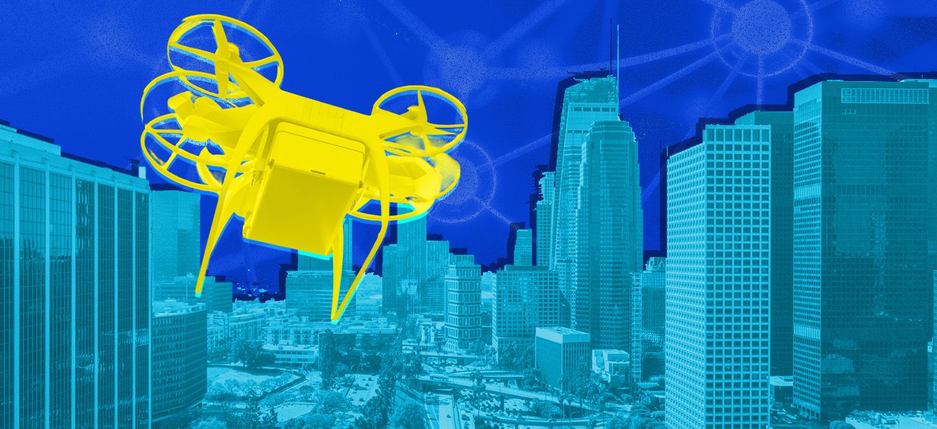
Unmanned Aerial Vehicles
These characteristics have made Unmanned Aerial Vehicles a crucial part of the Oil and Gas Industry, where UAVs are being deployed to perform a wide variety of tasks.
These include inspection of offshore platforms, refining equipment, leak detection in pipelines and other midstream assets, emergency response, and material handling. With Image sensors or cameras with visual RGB, Infrared, or LIDAR, UAVs programmed with the right drone software can automate, inspect, and save lives.
Advances in drone imaging, sensing, transmission, and control software have enabled the oil and gas industry to devise more important use cases for them.
The use cases grew rapidly and expanded from Image and Video Capturing to sensing weathering, rusting, and spacing characteristics of the asset under consideration. Let’s unravel the mystery of how drone usage is growing exponentially in the Oil and Gas industry.
Drone Usage Cases
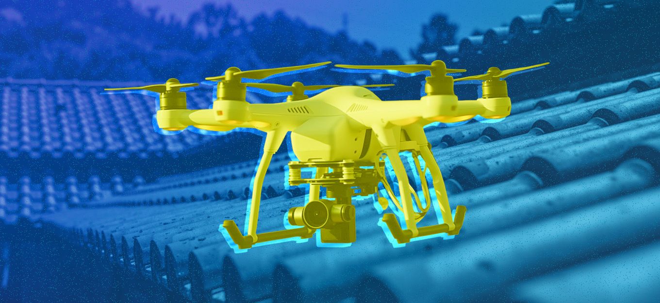
Pipeline Inspection
Drones play a crucial role in monitoring the vast network of pipelines that transport oil and gas across long distances. They are equipped with advanced sensors like infrared thermography to detect thermal anomalies, which is a major indicator of leaks or corrosion along pipeline surfaces.
This early detection helps to prevent environmental damage and ensures the overall integrity of the pipeline infrastructure.
Environmental Monitoring
Drones can now be equipped with multispectral and hyperspectral cameras and are used to monitor the environmental impact of oil and gas operations. They can assess soil health, vegetation health, and water quality in and around drilling sites.
By collecting this data, companies can adhere to environmental regulations, ensure responsible resource extraction, and minimize ecological disruption.
Emergency Response
In critical situations like oil spills, drones are a great way of providing rapid assessment and situational awareness. They are equipped with high-resolution cameras and sensors to capture real-time data on spill extents and movement.
This aids emergency response teams in making informed decisions about containment strategies and resource allocation. Drones also help to mitigate human exposure to hazardous conditions during emergency operations.
Security and Risk Management
When it comes to field security, drones add an extra layer to it by patrolling expansive oil fields, pipelines, and remote facilities. They are equipped with high-definition cameras and night vision capabilities and can detect unauthorized activities, trespassing, or potential security breaches.
Drones provide real-time visual feeds to security personnel, enabling rapid responses and enhancing overall site security. And they can be really helpful in identifying and mitigating safety risks.
Drones can remotely inspect areas prone to landslides, monitor unstable terrains, and assess potential gas leaks or toxic emissions. They can be a great tool for managing risks by reducing human exposure to hazardous environments, drones enhance worker safety and support adherence to strict safety protocols.
Data Collection and Analysis
Drones can be equipped with Advanced sensors, such as LiDAR and multispectral cameras, to gather massive amounts of data during flyovers.
This data is then processed and analyzed using specialized software to generate detailed 3D models, volumetric measurements, and geological insights. These analyses guide reservoir management decisions, optimize drilling techniques, and improve overall production efficiency.
When it comes to drones, they’re useful in all industries but when it comes to Oil and Gas, drones are a super significant investment. With the right control application, they can be a super-reliant asset across the entire oil field.
But making sure your Drone Control Software is exactly what you need is a challenge. How would you make sure your drones are being used to their full potential?
Making a Perfect Drone Control Application
Creating a perfect drone control application is important and requires a huge amount of careful planning, meticulous design, robust development, and continuous refinement.
The prime focus in creating a better user experience, safety protocols, and functionalities, can create an application that empowers drone operators to manage and control their devices effectively and safely.
But making a safe and effective drone is not what all business needs. Your custom drone software development will be focused on the challenges and needs of the specific industry.
You can follow this simple 5-step process:
- Identify the target goals and audience of your drone control application and list all the features that they might require.
- Create wireframes and mockups to visualize the user interface and entire app layout. Ensure making an interactive and clean UI with super easy navigation.
- Include Key Features like real-time video streaming, telemetry data display, remote control, and start integrating geolocation and map to enhance tracking and navigation. You can include autonomous flight modes and safety features such as geofencing, altitude limits, and emergency stop buttons.
- Conduct rigorous testing to ensure there are no bugs left and make sure the application adheres to aviation and drone regulations in an area. The app must actively notify about airspace restrictions and legal requirements.
- Prove support and tutorials along with the applications. Gather data and improve continuously.
Now that you’re done creating your drone application, all that’s left to do is take your UAV for a test flight. Your oil and gas drone must now be able to make complex tasks easier and keep your team safe. Including AI and ML in your Drones can also help you automate them to notify you of any anomalies in the field.
UAV Benefits
UAVs in oil and gas industries have made it possible to automate inspections, ease management, and save lives. Ensuring that your drone program is aligned with your target requirements and makes the best use of all the sensors integrated can help you stand out and create safe and easy-to-manage intelligent Oil fields.
The Most Comprehensive IoT Newsletter for Enterprises
Showcasing the highest-quality content, resources, news, and insights from the world of the Internet of Things. Subscribe to remain informed and up-to-date.
New Podcast Episode

IoT Is Finally Delivering
Related Articles

Related Solutions
Energy Metering for Utilities
Unified metering for electricity, water, oil, and gas to reduce costs, improve efficiency, and support ESG reporting.
Unified metering for electricity, water, oil, and gas to reduce costs, improve efficiency, and support ESG reporting.
akenza
akenza

Liquid Storage Management
AI-powered liquid level monitoring system to provide tank level data, enable timely refills, prevent leaks and theft, and enhance safety.
AI-powered liquid level monitoring system to provide tank level data, enable timely refills, prevent leaks and theft, and enhance safety.
Iveda
Iveda

Smart Drones for Site Inspection and Monitoring
AI-driven drones provide autonomous surveillance for pipeline inspections, power line monitoring, and environmental compliance.
AI-driven drones provide autonomous surveillance for pipeline inspections, power line monitoring, and environmental compliance.
Iveda
Iveda
Related Solutions
Utilities
Energy Metering for Utilities
Unified metering for electricity, water, oil, and gas to reduce costs, improve efficiency, and support ESG reporting.
akenza
Oil & Gas
Liquid Storage Management
AI-powered liquid level monitoring system to provide tank level data, enable timely refills, prevent leaks and theft, and enhance safety.
Iveda
Utilities
Smart Drones for Site Inspection and Monitoring
AI-driven drones provide autonomous surveillance for pipeline inspections, power line monitoring, and environmental compliance.
Iveda