5 Ways Digital Maps Can Save You Time in Construction
5 Ways Digital Maps Can Save You Time in Construction
- Last Updated: December 2, 2024
Unearth
- Last Updated: December 2, 2024

Today, you have a host of powerful tools at your disposal to help manage your project: Procore, PlanGrid, Bluebeam, Fieldwire, DroneDeploy, and more.
This is great, but your data’s missing a critical dimension: location.
The built world is stripped of context and crammed into lists. Project engineers and managers waste time sorting through dense file structures, overstuffed folders, and countless spreadsheets to find the plans and information they need.
Yes, digitally storing and filtering information is an improvement on paper records. But isn’t there a better way to sort through documents, update stakeholders, and visualize your project?
'Isn’t there a better way to sort through documents, update stakeholders, and visualize your project? This is where cloud-based maps come in.' -Unearth
This is where cloud-based maps come in. These maps offer a more intuitive way to organize your data.
In the countless conversations we have with project engineers and managers, they agree on one thing: digital maps can transform the following five areas.
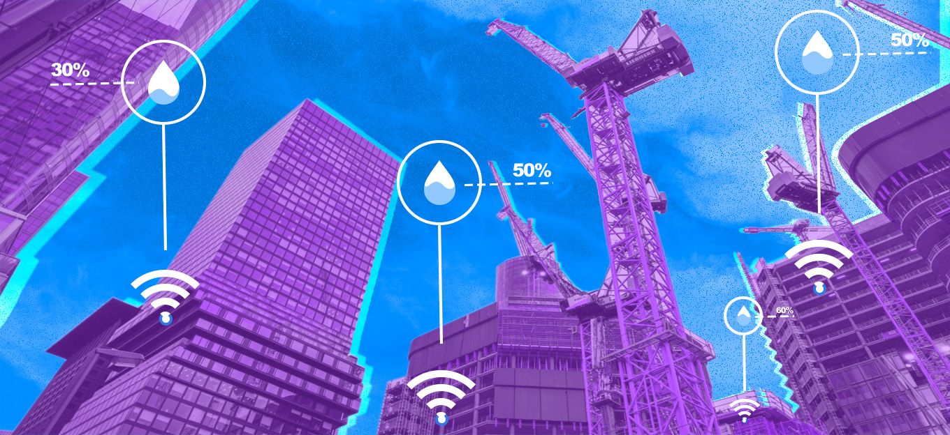
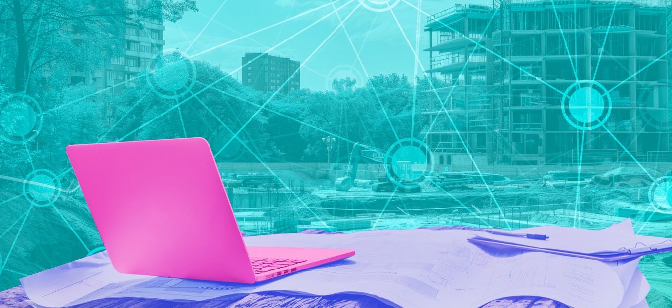
1. Progress Tracking: Empty Your Folders Onto a Map
Imagine taking all of your files and locating them on a map. Like Google Earth on steroids.
You can pin a plan to its real-world location, geo-locate thousands of photos, and view the status of fieldwork, inspections or permitting, for instance, in real-time.
Humans are visual beings: it just makes more sense to monitor everything on a map.
Let’s say you have hundreds of hot work permits. Why store these documents in a static folder? Instead, you could easily tie them to coordinates on a map and watch a permit’s color status change as field workers make updates.
Digital maps can also filter what data is displayed, so you can compare documentation from one week to another. You can toggle on/off plans from different stages of the project for a context-rich view of how work progressed.
Plus, inform decision-making on your site by geo-referencing 360 photos, BIM models, and drone imagery. With the right tools, you could even use elevation measurements to monitor stockpiles and other changes onsite.
Skip the hours spent searching for files and squinting at spreadsheets. There’s another way.
And this doesn’t just make it easier on yourself managing thousands of files - your project stakeholders will thank you, too.
2. Project Updates: Maps Speak a Thousand Words
Digital maps make communicating with project stakeholders easy: everything in context, in one place.
When you map your project, it’s easier to visualize progress, understand the relationship between your assets, and collaborate in the field.
And it’s not just about geo-locating existing documents. Use simple drawing and annotation tools to map out piping, electrical lines, and other infrastructure.
These digital project maps can cut down on onsite visits. You can share a visual record of your site with owner reps, an inspection agency, or your team members in the office, and use the same maps to guide crews through the day’s work.
Ultimately, map-based collaboration tools promote visibility between the trailer, office, and field.
Have a question for a team member? Tag them on an asset. With a map on their mobile device, they can see their own GPS location, their relation to the asset, and its context within the project as a whole.
Then, they can comment in response, attach a photo as work proof, and notify you instantly - all tied to a map.
If your project owner needs an update, add them as a view-only contributor or simply select the information you need and export it as a PDF, CSV, Shapefile, or other common data types.
As more and more owners leverage Geographic Information Systems (GIS), your ability to easily provide GIS data will impress.
3. Digital As-Builts: Why Project Owners Value Mobile GIS
Geographic Information Systems (GIS) data may be less common in construction.
But this doesn’t mean you can ignore it: accurate GIS is critical to asset owners in ongoing O&M. They need to know exactly where their infrastructure is.
In our experience with utilities, many owners don’t have this information. Too often, their as-built data is missing, inaccurate, or confined to plans and other documents that aren’t tied to a real-world location.
You’ll stand out among the competition if you can hand over GIS data and accurate as-builts.
And here’s a secret: it’s not hard to do.
Another term for cloud-based mapping in the field is Mobile GIS.
With Mobile GIS on your phone or tablet, you can draw in infrastructure using your GPS location in the field. A data collector - like a Trimble device - can also be used to capture even more precise GNSS data. Or your office team can input the right coordinates remotely.
Not only is this faster and more accurate than taking down notes or drawing a rough approximation on Google Earth, but it’s captured in the right data format: GIS.
4. Advanced Work Packaging: The Future of Work Management
If GIS is the future in construction data, advanced work packaging is the future of work management. New to advanced work packaging? In short, advanced work packaging provides a worker with a packet that includes everything they need to know for the day’s tasks. This streamlines communication and keeps work moving forward.
From what we’ve seen in the field, however, there isn’t a great solution for advanced work packaging; it’s very difficult to implement successfully.
Our argument: it doesn’t have to be this way. Map-based software is the perfect vehicle for advanced work packaging.
Everything a worker needs to know - permits, materials, equipment, asset information, instructions, stationing, etc. - can be linked together in a simple form. This work package can be downloaded to their phone if going offline.
The worker can click on a linked item and see its exact location, history, and context among other items in the project. And easily navigate there using their mobile device’s GPS.
Then, they can capture proof of work on their phone, automatically geo-locate the photo, and link this to the job. All in under a minute.
5. Dispute Resolution: Find Proof of Work Fast
Ever spent hours pouring through folders to find a single photo to resolve a dispute?
We’ve seen this happen firsthand.
While organizing and filtering data in a list has its uses, you can’t search spatially.
On a map, however, you can mark out a quadrant and search for all of the files in that geographic area. Then, filter for a specific date range if necessary.
Finding proof of work takes minutes - not hours - with map-based tools.
We’ve heard this referred to as “geo-searching,” and continue to see its value in projects managing thousands of files across large geographic areas.
The Most Comprehensive IoT Newsletter for Enterprises
Showcasing the highest-quality content, resources, news, and insights from the world of the Internet of Things. Subscribe to remain informed and up-to-date.
New Podcast Episode

IoT Is Finally Delivering
Related Articles
Related Solutions

Construction Site Safety Monitoring
AI-powered wearables for real-time PPE compliance monitoring, hazard detection, and incident documentation.
AI-powered wearables for real-time PPE compliance monitoring, hazard detection, and incident documentation.
Iveda
Iveda
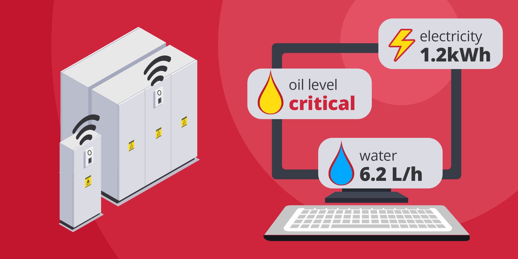
Energy Metering for Utilities
Unified metering for electricity, water, oil, and gas to reduce costs, improve efficiency, and support ESG reporting.
Unified metering for electricity, water, oil, and gas to reduce costs, improve efficiency, and support ESG reporting.
akenza
akenza

Workers' Compensation Fraud Prevention
Quickly verify claims, reduce investigation time, and protect your bottom line with AI-powered video surveillance and analytics.
Quickly verify claims, reduce investigation time, and protect your bottom line with AI-powered video surveillance and analytics.
Iveda
Iveda
Related Solutions
Construction
Construction Site Safety Monitoring
AI-powered wearables for real-time PPE compliance monitoring, hazard detection, and incident documentation.
Iveda
Utilities
Energy Metering for Utilities
Unified metering for electricity, water, oil, and gas to reduce costs, improve efficiency, and support ESG reporting.
akenza
Construction
Workers' Compensation Fraud Prevention
Quickly verify claims, reduce investigation time, and protect your bottom line with AI-powered video surveillance and analytics.
Iveda