An Alternative to Google Earth in Construction
An Alternative to Google Earth in Construction
- Last Updated: December 2, 2024
Unearth
- Last Updated: December 2, 2024

Have you ever spent more time than you’d like searching for the information you need? Or grown tired of patching together a complete picture of your project with multiple software platforms and dense folders full of drawings and other documentation? You’re not alone. You need good Google Earth alternatives.
'Despite significant innovation in the last 10 years, modern drawing management tools are missing a critical dimension of your data: real-world location.' -Unearth
We hear the same every week from project managers, engineers, and superintendents; there aren’t many software solutions out there built especially for large infrastructure projects. Juggling Google Earth and drawing management software only goes so far.
You lose time trying to navigate your project, data falls between the cracks, and people or materials aren’t in the right place at the right time. But what Google Earth alternatives are out there?
Fortunately, there’s a more intuitive way to capture, manage, and share construction data: geolocated drawings. By visualizing your drawings and layering project data on a map, you’ll have everything you need in one place - easily digestible by anyone on your team.
Why Real-World Location Matters in Construction
Contractors are left with thousands of documents, photos, and other data that are siloed across platforms or simply crammed into folders, lists, and spreadsheets.
The current technology available means the built world is reduced to a stack of files.
We’ve seen with our customers that tracking materials or simply sharing a comprehensive view of your project with your team can be a serious headache.
For this reason, contractors are turning increasingly to mapping to better visualize and organize key data. But current methods leave much to be desired.
The Mapping Status Quo: Ad Hoc & Time-Consuming
Construction teams understand the value of real-world context and often turn to some form of mapping:
- Printing out large sheets of satellite imagery to hang on the walls of an office
- Exporting drone or satellite imagery as a PDF and marking it up manually in software like Bluebeam
- Using Google Earth or Google MyMaps to make simple annotations
We’ve seen teams pair these annotated maps with spreadsheets or other attached documentation. But while these teams’ creativity and pragmatism should be admired, their solutions are limited.
In each case, contractors have patched together a solution that:
- is challenging to update to match the reality on the ground
- displays only a partial picture of the project
- is siloed from other platforms
- is time-consuming to create and maintain
With this in mind, it’s unsurprising that construction teams don’t use maps more extensively. Maps should bring clarity to a project, not bring further complications.
The problem here is clear: Contractors are forced to create their own mapping solutions or leverage software that’s not built for construction.
Google Earth & MyMaps Aren’t Designed for Construction
Google Earth and Google MyMaps are excellent mapping tools for the public, not project engineers. Construction teams need Google Earth alternatives.
Though these platforms are used widely, they risk wasting your time, create complicated workflows, and fall short of the true potential of construction mapping.
Let’s examine the pros and cons.
Pros:
- Both Google Earth and MyMaps are free. Hard to argue with that, right?
- Google Earth offers easy-to-use drawing and annotation tools while MyMaps provides an added degree of customization.
- They integrate with other Google products and provide straightforward mapping from a spreadsheet.
Cons:
- Google Earth and MyMaps don’t support a mixed dataset (drone imagery, construction drawings, field documentation, etc.), provide limited detail on the work represented, and must be juggled with other platforms or documentation for a context-rich record.
- It’s challenging to collaborate with a team within Google Earth and MyMaps, these tools are siloed from your other construction software, and export options are limited.
- Google Earth and MyMaps don’t function offline and have limited mobile capabilities; they’re not built for the field.
Google Doesn’t Connect Office, Trailer, and Field
Google mapping products are great for the general public, but they’re clearly not designed for construction, where collaboration is critical and you’re handling several different data types.
By sticking with Google products, you risk contributing to the same problems that may have driven you to maps in the first place: information silos, bad data, and time wasted tracking down accurate information.
We see an alternative to Google products in the evolution of construction drawings. While Bluebeam, PlanGrid, and Fieldwire have brought contractors into the digital age, the next generation of drawings is on a map.
Where Modern Drawing Management Falls Short
Despite significant innovation in the last 10 years, modern drawing management tools are missing a critical dimension of your data: real-world location.
Construction Drawings: Past & Present
Paper drawings went the way of the dinosaur with digitization (with documents stored digitally in complex filing systems). Here, Bluebeam offers a powerful yet easy way to mark up your digital drawings just as you did by hand.
Everything’s also been linked in one place for easy access in the field. For example, PlanGrid equips boots on the ground with real-time access to up-to-date drawings.
And software like Fieldwire promises streamlined collaboration and the potential to attach key documentation to your drawings for a more complete record of work.
There’s debate over which of these products is superior, but it’s clear they’ve transformed the way contractors manage drawings.
Unfortunately, Bluebeam, PlanGrid, and Fieldwire share something else in common; they display construction drawings stripped of their real-world context.
Google Earth Alternatives: The Next Generation of Construction Drawings
Modern drawing management tools need to be paired with a map.
It just makes sense to see your drawings on a map – whether that’s a superintendent in the field directing crews on the day’s work, a project manager assessing progress across multiple projects, or an engineer sharing updates with an owner. Whatever you have hidden deep in a folder structure can see the light of day on your geolocated drawing.
Geolocated Drawings
You can stake your drawings to real-world coordinates, toggle drawings on and off to reflect different phases of your project, add project stations, and overlay relevant environmental and geographic information.
Mixed Dataset
For further context, you can visualize the contents of your folders (RFIs, change orders, permits, equipment, materials, and more) or dump a thousand images and watch as they’re automatically geolocated.
Real-time Progress
Plus, this information isn’t static. Crews can log inspections and other updates from the field with simple data collection tools – so you can track this progress instantly against your drawing.
With a real-time map, teams can navigate your site and fieldwork with ease. Where is their daily assignment? The relevant documentation? The materials and equipment? A worker can use their phone’s GPS to see exactly where they’re standing amid the information.
Ultimately, these map-based drawings not only provide great Google Earth alternatives but are also the future of construction data management.
The Most Comprehensive IoT Newsletter for Enterprises
Showcasing the highest-quality content, resources, news, and insights from the world of the Internet of Things. Subscribe to remain informed and up-to-date.
New Podcast Episode

IoT Is Finally Delivering
Related Articles


Related Solutions

Power Plant Safety for Operators
Deploy instant, AI-powered monitoring across power generation facilities with a portable, plug-and-play solution.
Deploy instant, AI-powered monitoring across power generation facilities with a portable, plug-and-play solution.
Iveda
Iveda

Construction Site Safety Monitoring
AI-powered wearables for real-time PPE compliance monitoring, hazard detection, and incident documentation.
AI-powered wearables for real-time PPE compliance monitoring, hazard detection, and incident documentation.
Iveda
Iveda
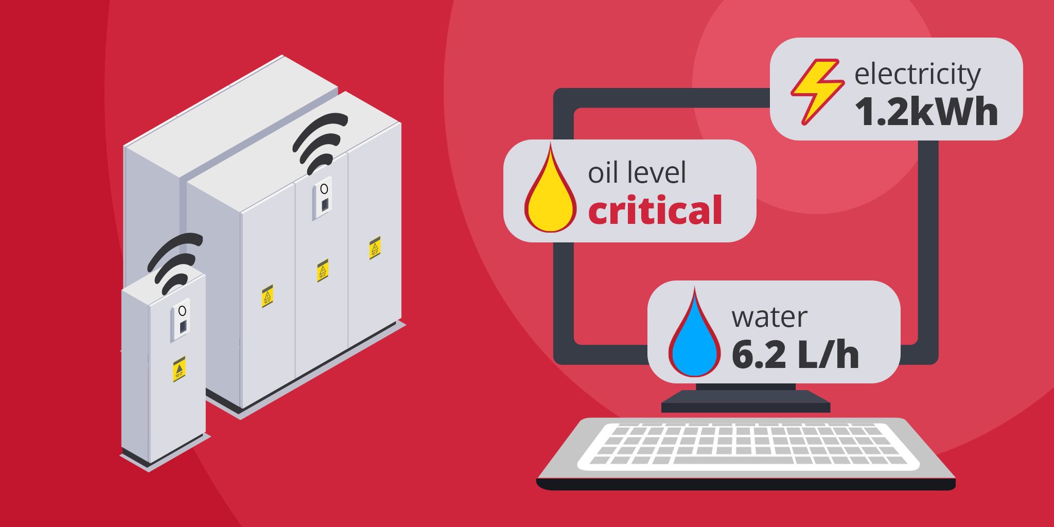
Energy Metering for Utilities
Unified metering for electricity, water, oil, and gas to reduce costs, improve efficiency, and support ESG reporting.
Unified metering for electricity, water, oil, and gas to reduce costs, improve efficiency, and support ESG reporting.
akenza
akenza
Related Solutions
Utilities
Power Plant Safety for Operators
Deploy instant, AI-powered monitoring across power generation facilities with a portable, plug-and-play solution.
Iveda
Construction
Construction Site Safety Monitoring
AI-powered wearables for real-time PPE compliance monitoring, hazard detection, and incident documentation.
Iveda
Utilities
Energy Metering for Utilities
Unified metering for electricity, water, oil, and gas to reduce costs, improve efficiency, and support ESG reporting.
akenza