A Step-by-Step Approach to Mobile GIS Adoption
A Step-by-Step Approach to Mobile GIS Adoption
- Last Updated: December 2, 2024
Unearth
- Last Updated: December 2, 2024

This article is Part 2 of a two-part series on Mobile GIS and cross bores. To learn more about the cross bore problem, the challenges of implementing a legacy cross bore program, and how Mobile GIS can address those challenges, read Part 1 of this series. If you’ve already done so, read Part 2 for a step-by-step guide on how to adopt Mobile GIS for legacy cross bore programs.
It’s one thing to discuss reforming Geographic Information Systems (GIS) processes for legacy cross bore inspections from an abstract perspective; it’s another thing to actually put the reforms in place and implement Mobile GIS.
'A new GIS standard needs to be built from scratch - one designed around the capabilities of modern cloud computing and the demands of modern mobile devices.' -Unearth
Many utility companies, as well as outside vendors, have tried to put together an easy-to-use mapping system from existing GIS tools - none of them have accomplished their goal. Why? Because existing GIS tools were built decades ago and have an outdated architecture that holds them back.
So how can a utility company actually go about reforming their GIS tools to improve legacy cross bore detection? It’s not as difficult as it seems. However, it does require looking to outside sources to accomplish it.
Here’s a step-by-step guide to how you can get it done.
1. Identify the Program Manager for Legacy Cross Bore Inspections.
Before anything can get moving, you have to get the right people together. Find the person responsible for legacy cross bores, and then create a spreadsheet of everyone within the utility company that has a role in running the program.
If no one is in charge of legacy cross bores, go to the person running preventative cross bores and find out why you don’t have a legacy program. If there is no cross bore team, you need to have a broader org-wide conversation. Go to the person in charge of risk management and find out why cross bore mitigation is not a priority.
2. Lay Out Your Current Cross Bore Inspection Process Step-by-Step.
Now that you know everyone involved, you can map out your exact process to find and mitigate cross bores. Start with how you prioritize parcels and plats and go through recording and storing the results.
You should identify the individuals involved, the average time spent per step, the systems used, and the associated costs. This will give you a good high-level overview of what’s going on internally.
3. Calculate the Total Time and Cost of Finding and Resolving Cross Bores, Then Create Some Projections.
This is an essential step because you need to have a baseline reading of where your cross bore program is today and how it’s projected to perform.
With the numbers from step 2, you should be able to determine the average time and cost to inspect a single parcel. With these numbers, you can calculate the time and cost of inspecting every customer served by your utility. This overall number is critical because it will show the value of investing in a different system in terms of time and money saved.
4. Research and Evaluate Outside Software Providers.
Many utility companies make the mistake of trying to build an internal solution for their Mobile GIS.
The money and time spent developing a working tool will quickly outweigh the benefits received. The complexities of GIS require a dedicated software organization to build, manage, and scale operations. Finding a purpose-built Mobile GIS tool for legacy cross bore programs can get you up and running in a couple of weeks for a fraction of the cost.
For this step, you should build a spreadsheet of available options that lay out their cost, licensing structure, features set, plus pros and cons. Only include tools that will support an end-to-end workflow, as that’s the key function that will streamline the entire process.
5. Talk to Your Top Three Software Options.
You shouldn’t try to purchase and implement this kind of solution out-of-the-box. Each provider you’re considering should offer a certain level of customization, onboarding, and specialized service. This is also your chance to discuss the numbers and processes laid out in earlier steps, as well as create a firm outline of the tangible impact these vendors could make.
6. Make a Decision and Get Buy-in.
Once you’ve decided on a provider, you have to get organizational buy-in. This is potentially the most difficult/time-consuming step.
Fortunately, the Mobile GIS you choose should be of significant help here - particularly if you followed the earlier steps involved in laying out and analyzing your current process. The provider you choose should be happy to provide you with all the materials you need to help present the solution to the broader organization. Many will even fly people to your company to present if you want additional help.
7. Roll it Out.
With everything in place, you’re ready to put your new system to use. Work with your software provider to develop a rollout plan.
They should have a system for getting you and your teams onto the platform smoothly. Everyone should have a detailed set of expectations regarding when and how they will use the software, and a person to contact if they have questions.
8. Track and Record Results.
The final piece of the puzzle is to monitor and record usage.
For the first 3-6 months you should set up regular check-ins with your software provider to ensure that everything is going according to plan. Then after you have a year of data, you can sit down to review performance increases and explore how you can streamline processes even further. From here, the software becomes a natural extension of your operations that can be iterated and developed as needs evolve.
These steps serve as a general benchmark for individual utilities to move towards more efficient legacy cross bore inspection programs through Mobile GIS.
It’s important to keep in mind that the software selection and purchasing process can be long and slow, particularly in a large organization. To stay driven, teams need to remember the ultimate objective: reducing risk and saving lives.
This is a mission-critical effort that benefits everyone.
Getting Started with Mobile GIS in Integrity Management
To effectively accomplish the goal of going beyond GIS for legacy cross bore inspections, a new GIS standard needs to be built from scratch - one designed around the capabilities of modern cloud computing and the demands of modern mobile devices.
We strongly believe in the importance of finding a way to quickly and effectively deal with the legacy cross bore problem in the US and are excited to see the powerful role Mobile GIS will play in integrity management programs.
The Most Comprehensive IoT Newsletter for Enterprises
Showcasing the highest-quality content, resources, news, and insights from the world of the Internet of Things. Subscribe to remain informed and up-to-date.
New Podcast Episode

IoT Is Finally Delivering
Related Articles


Related Solutions

Power Plant Safety for Operators
Deploy instant, AI-powered monitoring across power generation facilities with a portable, plug-and-play solution.
Deploy instant, AI-powered monitoring across power generation facilities with a portable, plug-and-play solution.
Iveda
Iveda
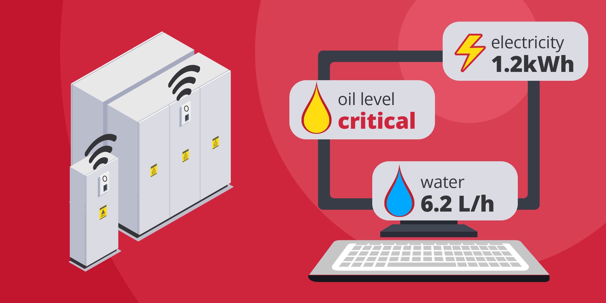
Energy Metering for Utilities
Unified metering for electricity, water, oil, and gas to reduce costs, improve efficiency, and support ESG reporting.
Unified metering for electricity, water, oil, and gas to reduce costs, improve efficiency, and support ESG reporting.
akenza
akenza
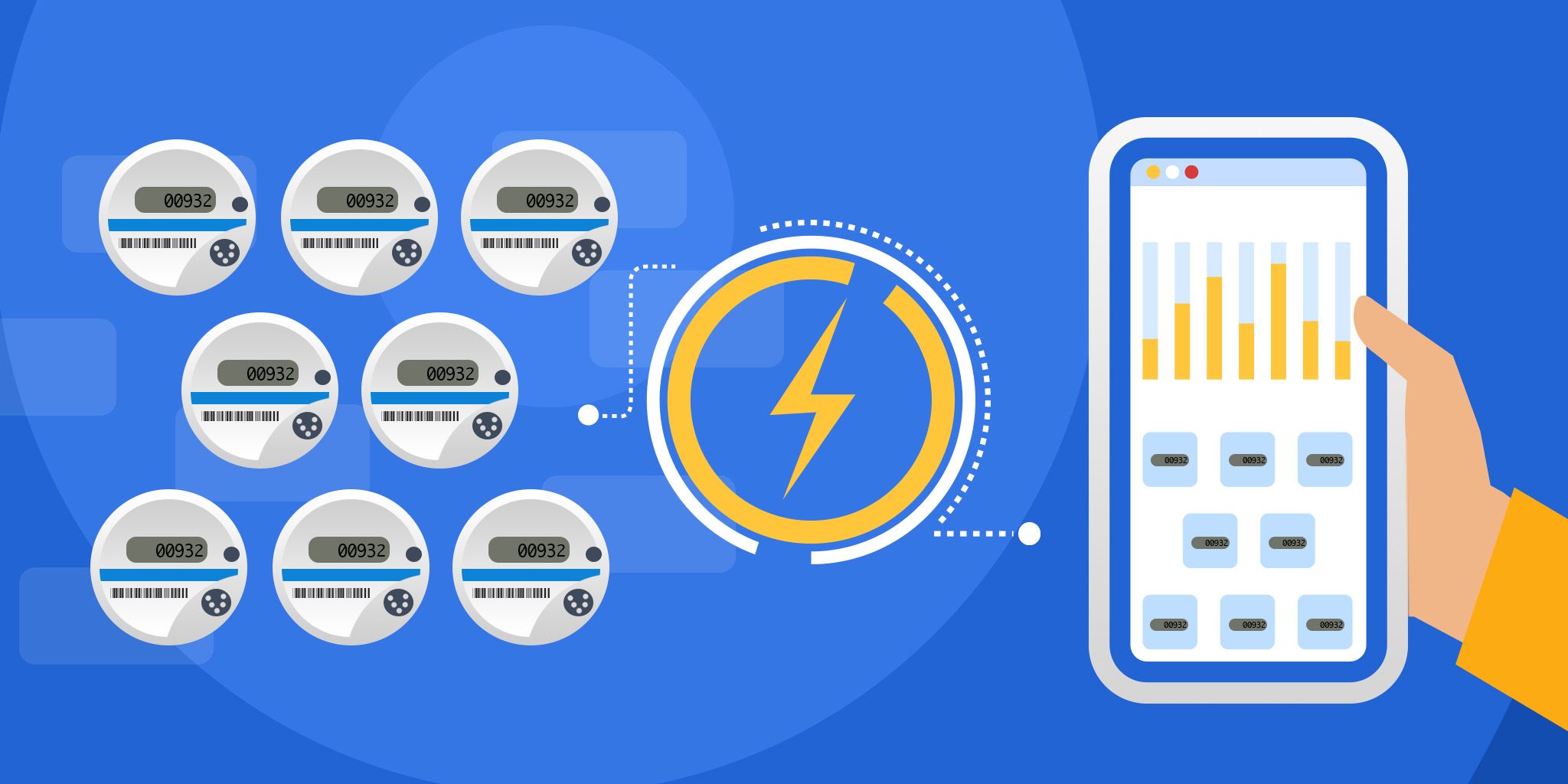
Smart Metering for Infrastructure
Automated meter readers for gas, water, and electric to enable accurate billing, simplified sub-metering, and insights.
Automated meter readers for gas, water, and electric to enable accurate billing, simplified sub-metering, and insights.
Smarter Technologies
Smarter Technologies
Related Solutions
Utilities
Power Plant Safety for Operators
Deploy instant, AI-powered monitoring across power generation facilities with a portable, plug-and-play solution.
Iveda
Utilities
Energy Metering for Utilities
Unified metering for electricity, water, oil, and gas to reduce costs, improve efficiency, and support ESG reporting.
akenza
Utilities
Smart Metering for Infrastructure
Automated meter readers for gas, water, and electric to enable accurate billing, simplified sub-metering, and insights.
Smarter Technologies